General News
19 October, 2022
Widespread flooding hits south west hard
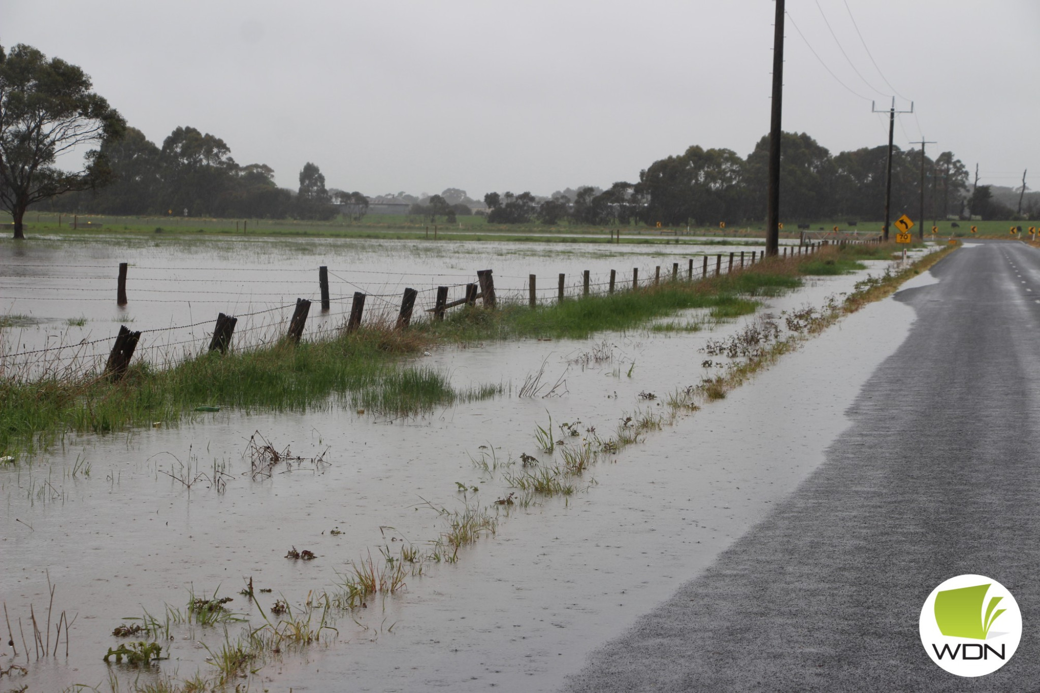
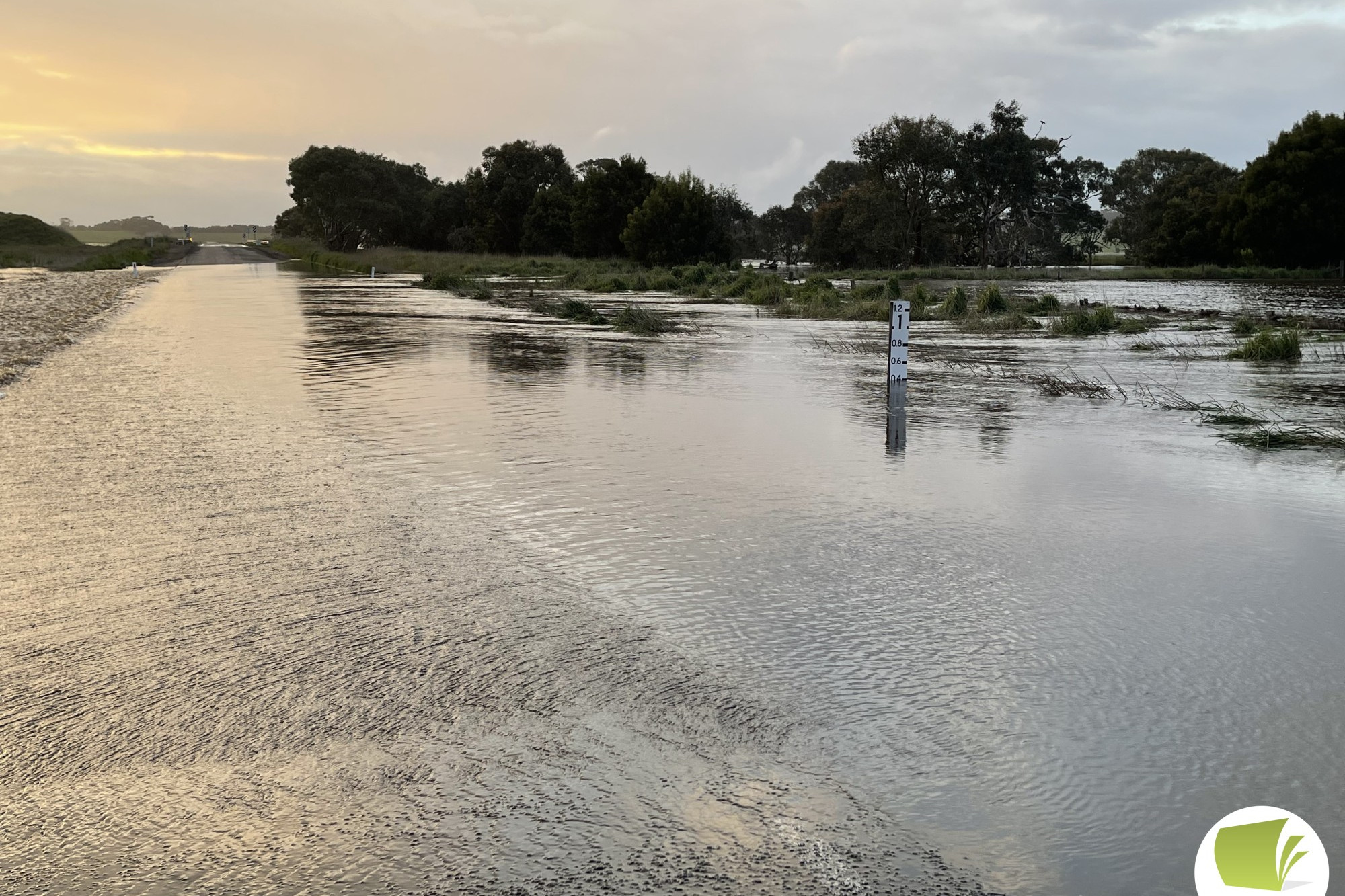
THE most significant flooding event since the floods of 2011 saw more than two dozen local and state roads closed over the weekend.
THE most significant flooding event since the floods of 2011 saw more than two dozen local and state roads closed over the weekend.
Emergency management hubs were opened across the region after high rainfall last Thursday and Friday saw water levels at Mt Emu Creek and the Hopkins River surge.
In the 24 hours leading to 1pm last Thursday, rainfall totals of up to 40mm were recorded in the Mt Emu Creek Catchment.
According to figures from the Bureau of Meteorology, Mortlake experienced a thumping 50mm of rainfall on September 13 and 21mm on October 14.
The 71mm of rainfall recorded in the 48-hour period represents a higher rainfall for Mortlake than the entirety of October, which was 70.4mm.
It was the largest daily rainfall since the floods of January 2011, in which Mortlake experienced 59.8mm on January 12 and 53.8mm on January 14.
Terang received a little more luck, with 31.6mm falling on October 13 and 21mm falling the following day; however the figure marked the highest rainfall in a 48-hour period for the year.
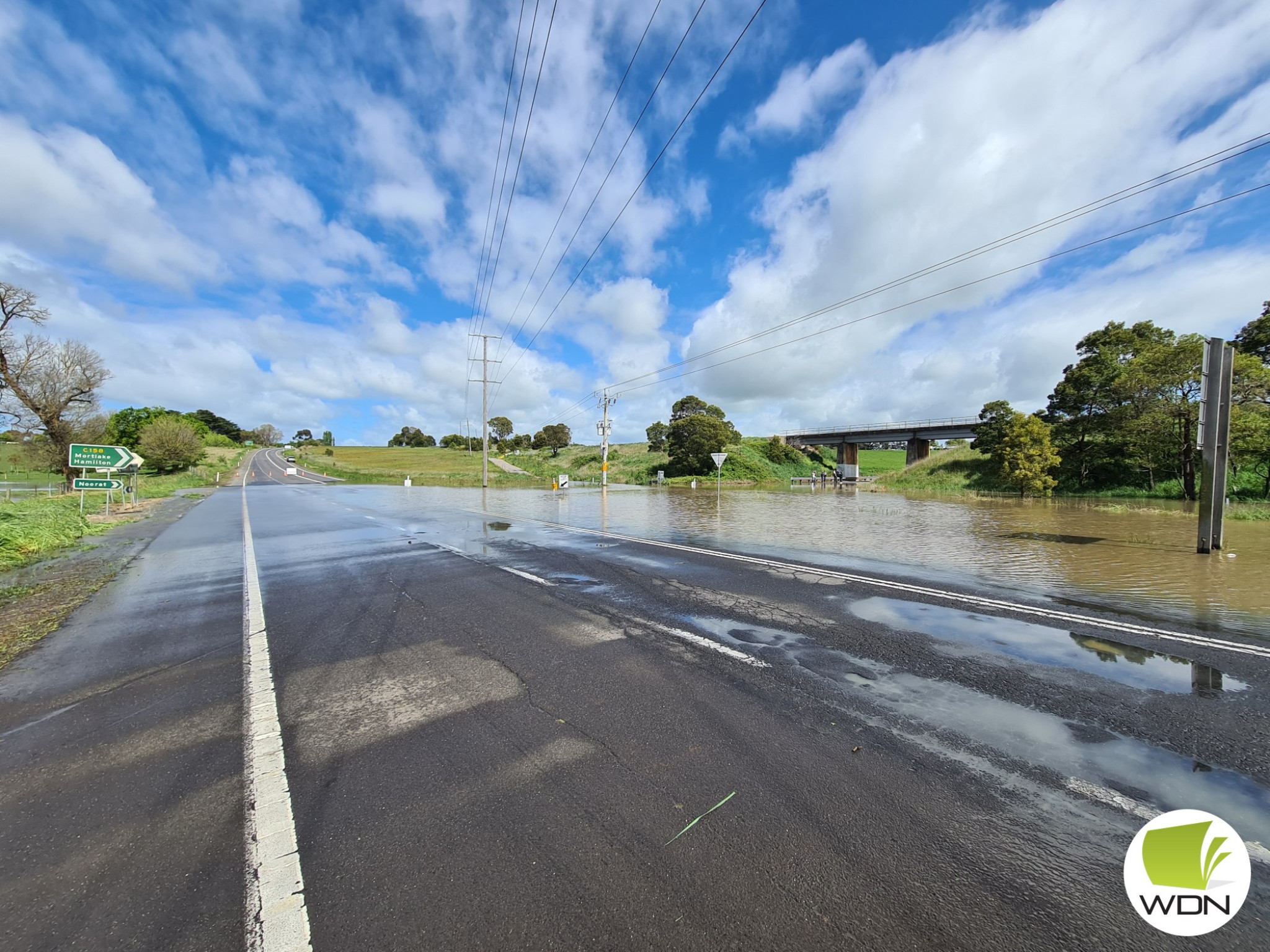
By Sunday the Department of Transport closed a number of state-controlled roads including the Hamilton Highway at Hexham and between Mortlake and Darlington, Mortlake-Ararat Road on either side of Woorndoo, Terang-Mortlake Road between Terang and Noorat, the Hopkins Highway between Mortlake and Woodford and the Princes Highway between Terang and Camperdown.
Significant local road closures in Corangamite and Moyne Shires impacted Mortlake, Ellerslie, Hexham, Garvoc, Panmure, Boorcan, Darlington, Noorat and Glenormiston.
Moyne Shire Council activated its emergency management plan after concerns flooding in Panmure could reach to 2011 levels, which threatened a number of properties.
“Council works crews have delivered sand to Panmure and are notifying residents that could be impacted by flooding as floodwaters come down Mount Emu Creek,” Moyne Shire mayor Ian Smith said.
“We are also notifying property owners in Hexham where the Hopkins River is in flood, closing the Hamilton Highway.
“We have a number of local road closures across the shire and encourage people to check our social media for updates.
Our crews are working around the clock with community safety their priority.
“A number of roads have received damage and we ask people to drive carefully as our crews work through the list of repairs that are required across the shire.”
Corangamite Shire mayor Ruth Gstrein urged drivers to be cautious on roads.
“Locally we’ve seen examples of people choosing to ignore signage and warnings and continue to drive through floodwaters,”she said.
Research has found that just 15 centimetres of slow-flowing floodwater was powerful enough to move a small car.
“The risk is also below the surface and the damage that has been done to the road – you don’t know what you’re driving across,” Cr Gstrein said.
“The SES needs to spend time and resources helping those most at risk, not people driving into floodwater.
“It’s not worth the risk. Just pleaseturn around.”
On Monday morning Moyne Shire Council chief executive officer Brett Davis said council would undertake impact assessment on the local road network to determine damage as soon as flood waters receded.
“At this stage our teams have reported significant damage to North and South Road and on Connewarren Lane in the Mortlake area,” he said.
“There have also been reports of vehicles driving around road closures and becoming stuck on damaged roads requiring assistance.
“Road closed signs are there for a reason – we ask people observe all road closures for their own safety and to ensure emergency services can focus on their job, rather than rescuing people from situations they shouldn’t be in.
“A number of roads remain closed across the shire – these roads can only be re-opened when inspected to ensure they are safe, our teams are working through these inspections and reopening roads where possible.”
Mr Davis said flood waters in Panmure had reached a peak and council would begin its recovery phase as the waters receded.
“Council has now stood-up an internal recovery control group with representatives from relevant directorates,” he said.
“The group will meet daily to ensure recovery efforts are appropriately resourced and are taking a whole of council approach.”